Tag: Georegistry

The success of public health interventions often depends on a single question: exactly where was this data collected? Whether you are mapping health facilities or tracking a vaccination campaign, GPS precision is the backbone of your spatial analysis. At Bluesquare, we designed IASO to handle the realities of the field, where hardware limitations and environmental factors meet the need for high-quality georeferencing.
Updating the health map is a cornerstone of healthcare planning. In Benin, integrating the georegistry through the IASO platform has helped transform often fragmented data into a single, dynamic source of truth for the national system.


IASO provides a comprehensive and flexible solution for agricultural data management. Its geospatially-enabled architecture, mobile data collection, traceability features and integration capabilities make it well-suited to meet the evolving requirements of agricultural markets and regulatory frameworks.
Along with its form-based approach to data collection, IASO has an advanced geospatial data management allowing for decentralization of responsibilities and task planning according to geography, as well as powerful map-based visualizations.
In fields like public health, access to comprehensive geographic data is crucial for designing targeted and effective interventions. That’s exactly the need Bluesquare set out to meet with IASO, its geographic data management platform now rolled out in 14 countries. Let’s dive into the 5 essential features that make IASO a go-to georegistry solution.

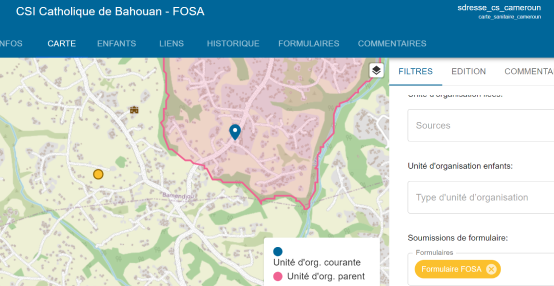
In the vast Democratic Republic of Congo, managing and updating health system geographic data is a major challenge. While the National Health Information System Directorate (DSNIS) uses DHIS2, it falls short in addressing key issues of data validation, control, and coordination. To overcome this, DSNIS adopted IASO, Bluesquare’s open-source georegistry, through the USAID PROSANI project.
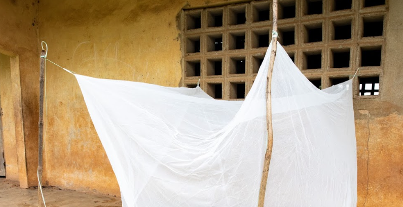
In 2024, Bluesquare worked hand in hand with the National Malaria Control Program (NMCP) in Côte d’Ivoire to digitalize the microplanning, household enumeration, and distribution processes of Long-Lasting Insecticidal Nets (LLINs) through the IASO digital platform.
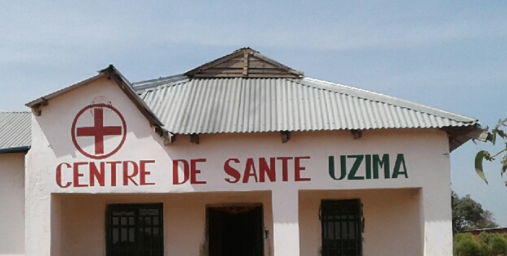
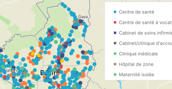
In the Democratic Republic of Congo (DRC), fragmented health facility data poses significant challenges to resource allocation and service delivery. IASO is implemented in the DRC to identify health facilities location and their available equipment and improve healthcare access assessment.
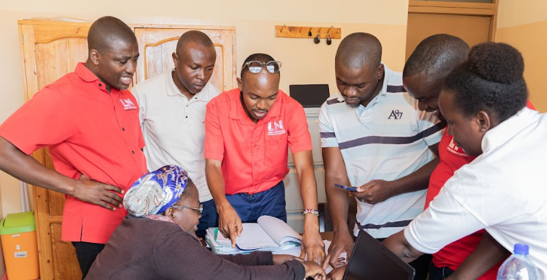
IASO has partnered with LifeNet International to develop a unified M&E platform that spans six countries—Uganda, Kenya, Burundi, the Democratic Republic of Congo (DRC), Malawi, and Ghana. This platform integrates geo-structured data collection, decentralized user management, and seamless DHIS2 integration, empowering LifeNet to improve healthcare coordination across its extensive network.


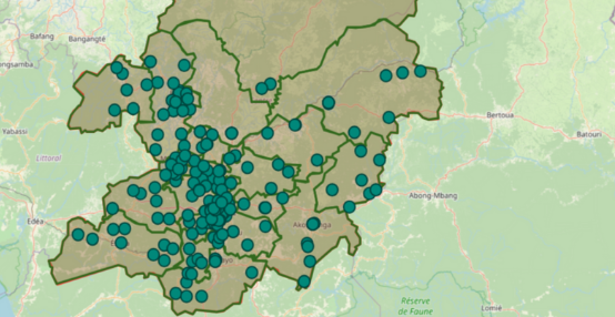
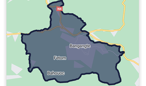
In Cameroon, the micro-planning of vaccination campaigns has traditionally been a manual, often cumbersome process. The digitization of this process, particularly through tools like IASO, marks a significant advancement in enhancing the efficiency and impact of these campaigns.