The georegistry features of IASO were utilized in the framework of this project, the final goal of which is is to improve healthcare coverage in Niger. Key activities included:
- Location of Community Health Workers
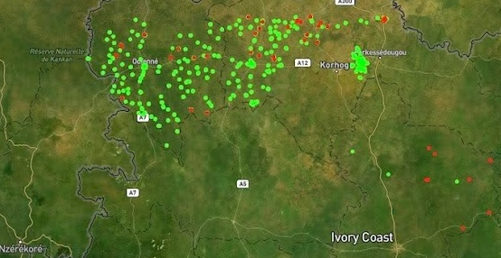
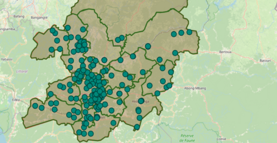
The georegistry helped collect preliminary information on 329 community health workers in the Tahoua and Dosso districts. In the first phase of data collection, the health workers were invited to physically report to their Reference Health Centers (CSI), where basic information forms were filled out. In a second phase, more detailed data collection, directly at the level of the community health workers, will take place. This geographic precision will ensure a better understanding of the distribution of health workers and help identify areas that need new workers to improve healthcare coverage.
In parallel, the georeferencing of integrated health centers (CSI) was increased to 94%, up from 84% previously. - Optimized Data Collection
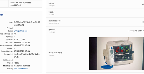
Thanks to the georegistry and mobile applications developed by Bluesquare, data collection on community health workers was significantly streamlined. During a 10-day mission, details of 329 community health workers were gathered, including 229 in person. These data included not only demographic information but also photographs, enhancing the verification and credibility of the collected information. - Analysis of Needs for New Community Health Workers
With geolocated and demographic data, Bluesquare was able to analyze and recommend the recruitment of new community health workers based on population-to-health-worker ratios. This analysis is essential to meet the goal of one community health worker per 1,000 inhabitants, ensuring adequate healthcare coverage. - Update of Niger’s Healthcare Map
Thanks to the interoperability between IASO and the Ministry’s tools (DHIS2), the georegistry will contribute to updating Niger’s healthcare map. By integrating new data on CSIs and community health workers, this map becomes a strategic tool for public health decision-makers, aiding in planning and resource allocation.
Impact on the Ground: Tangible Results
The implementation of these advanced features has had a significant impact on the ground:
- Increased efficiency: The shift from a partially paper-based census process to a digital system enabled faster and more accurate data collection.
- Better intervention planning: With an updated healthcare map, health authorities can better plan public health interventions, such as malaria control campaigns.
- Reduced access inequalities: By identifying underserved areas, the georegistry enables targeted recruitment of new community health workers, reducing disparities in access to healthcare.
IASO technology and its advanced georegistry have transformed the way community health workers are identified and managed in Niger. By providing accurate data and facilitating continuous updates to the healthcare map, these tools help improve healthcare coverage and contribute to ensuring that every inhabitant of Niger has access to essential healthcare.


