IASO is an innovative, open-source, bilingual (EN/FR) data collection platform with advanced geospatial features to plan, monitor and evaluate health, environmental or social programmes in low- and middle-income settings (LMICs). IASO is recognized as a Digital Public Good by the Digital Public Good Alliance and listed as a Digital Square Software Global Good, a testament to its proven impact.
-
20 18
Data collection
Health system geographic data update in DRC Data collection in remote & offline areas -
20 20
Geo-advanced features
Health system geographic data update in Niger Schools mapping in DRC -
20 22
Campaigns digitalization
Microplanning and campaign digitalization implementation in Burkina Faso, Cameroon, DRC -
20 23
Entities & workflows
Nutrition programme enrollment and monitoring of beneficiaries -
20 24
Data validation & payments
Changes requests sent from mobile app and approved on the web Payments according to approved changes requests -
20 25
Public Georegistry
Publish your geographic data and allow anyone to propose changes from the public interface
IASO is an innovative, open-source and multilingual (EN/FR) platform designed for data collection, planning, monitoring, and evaluation of health, environmental, and social programs. With its advanced geospatial capabilities, IASO provides a structured approach to managing geographic data, optimizing field data collection, and enhancing decision-making.
IASO’s core functionalities revolve around four interconnected components, each reinforcing the capabilities of the others:
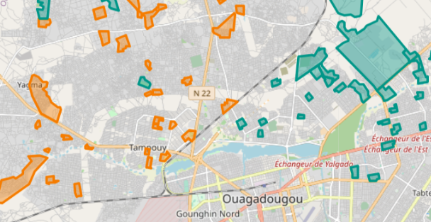
1. Geospatial Data Management (Georegistry)
- Manage multiple master lists of geographic data, including hierarchical structures (e.g., Country → Region → District → Facilities), GPS coordinates, and boundaries.
- Track changes and updates to geographic data over time.
- Integrate and visualize multiple geographic data sources.
- Allow field teams to propose changes via the IASO mobile app and review them through the web interface.
2. Geo-Structured Data Collection
- Design and upload data collection forms using the widely known XLSForm format.
- Link forms to one or multiple geographic levels (e.g., National, Regional, District, Health Facility, etc.) to structure data collection.
- Track changes in data collection forms over time.
- Review and analyze submitted questionnaires via the web application.
- Monitor questionnaire completeness across geographic levels and identify potential data gaps.
3. Geo-Enabled Microplanning
- Manage and organize teams, including hierarchical team structures.
- Assign data collection tasks to teams and users through an interactive map interface.
- Define planning scopes, timeframes, and associated questionnaires to structure field activities.
4. Entity & Workflow Management
IASO allows the tracking of entities, which can be individuals (e.g., health or social program beneficiaries) or physical objects (e.g., supplies, parcels, bed nets). Workflows facilitate entity tracking by linking forms dynamically based on previous responses.
- Define entity types (individuals, items, etc.).
- Configure workflows to determine which forms open based on prior responses.
- Register new entities via the mobile app, even offline.
- Synchronize data between mobile and web applications.
- Identify, compare, and merge duplicate entity records as needed.
- Store entity information on NFC cards for easy access and updates.
IASO’s flexible and scalable architecture makes it a powerful solution for organizations seeking to improve data-driven decision-making and operational efficiency.
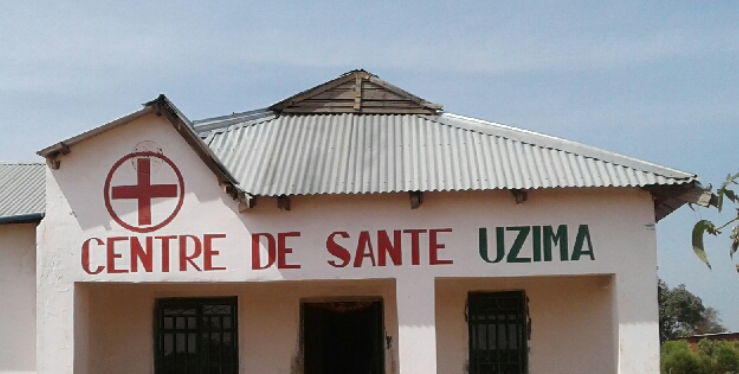
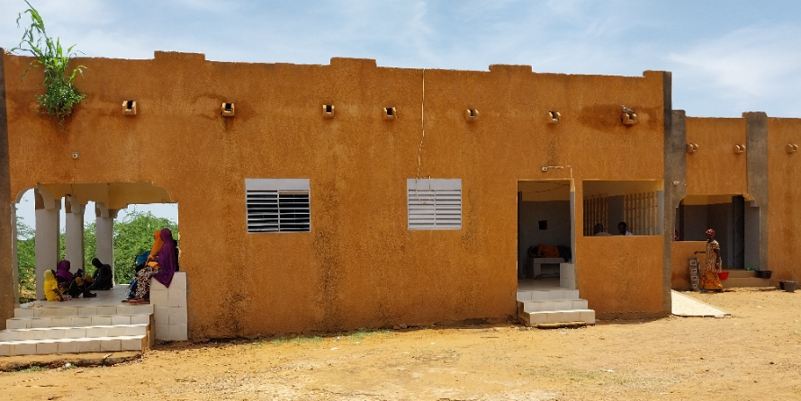
IASO has been implemented in Benin, Burkina Faso, Burundi, Cameroon, the Central African Republic, the Democratic Republic of Congo, Haiti, Ivory Coast, Mali, Niger, Nigeria, Senegal, South Sudan, and Uganda. It has been instrumental in updating geographic data in the Democratic Republic of Congo, Côte d’Ivoire, and Burkina Faso, where it also serves as the official georegistry. At the regional level, IASO supports the Global Polio Eradication Initiative in the AFRO region, providing robust geospatial and health facility registry capabilities.
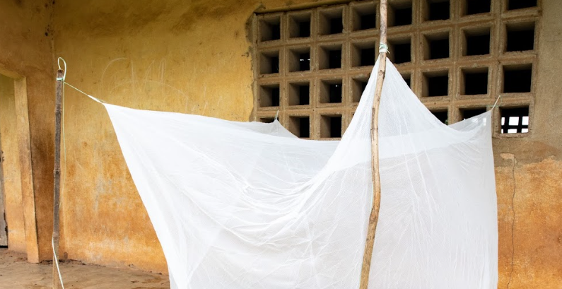
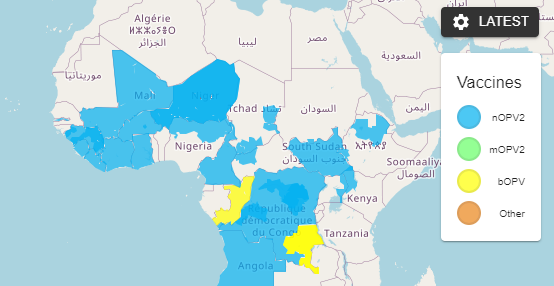
With its advanced geospatial features, IASO is a leading solution for geo-enabled campaign digitalization, enabling precise planning, monitoring, and execution of critical health interventions. Whether for vaccination campaigns (measles, polio, yellow fever, etc.) or the distribution of essential health items (bed nets, seasonal malaria chemoprevention, etc.), IASO ensures efficient targeting and optimized resource allocation.
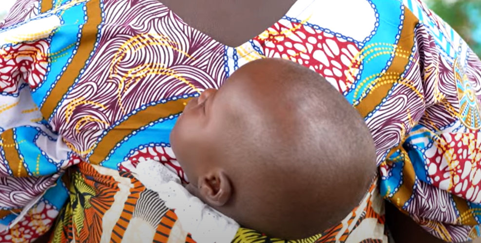
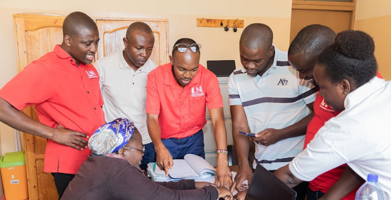
More recently, IASO has been supporting the digitalization of a United Nations nutrition program for children under five and pregnant and breastfeeding women, with plans for expansion to multiple countries. Its adaptability and scalability make it a powerful tool for tracking individuals and resources in various contexts, including monitoring community health workers and managing logistics. By providing real-time, high-quality data, IASO enhances decision-making, improves coordination, and ensures that interventions reach those who need them most.